Models & specificitiesDescriptiveReviewsA questionBesoin de formation
Models & specificities
Back to menu
Reference
Price before tax
Shipping
Shipping
Price before tax
GAHVNE2021
€55
€55
GAHVCO2021
€55
Shipped within
24h
Shipped within
24h
€55
GAHVNE
€58.30
Shipped within
24h
Shipped within
24h
€58.30
GAHVCE2021
€55
Shipped within
24h
Shipped within
24h
€55
GAHVSO2021
€55
Shipped within
24h
Shipped within
24h
€55
GAHVNO
€58.30
Shipped within
24h
Shipped within
24h
€58.30
GAHVSE2021
€55
€55
Models & specificitiesDescriptiveReviewsA questionBesoin de formation
Descriptive
Back to menu
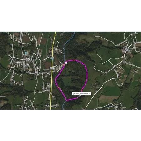
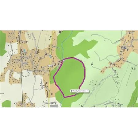
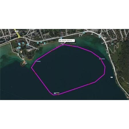
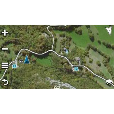
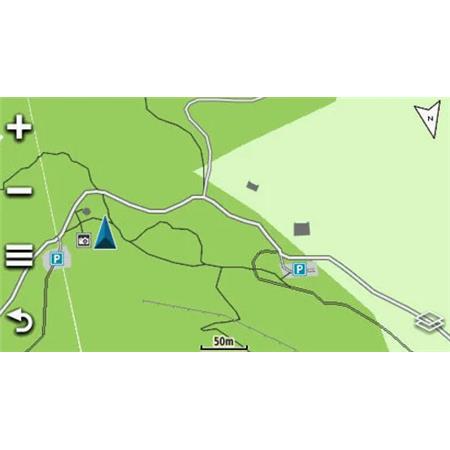
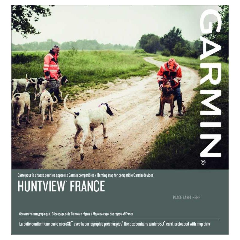
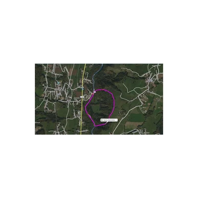
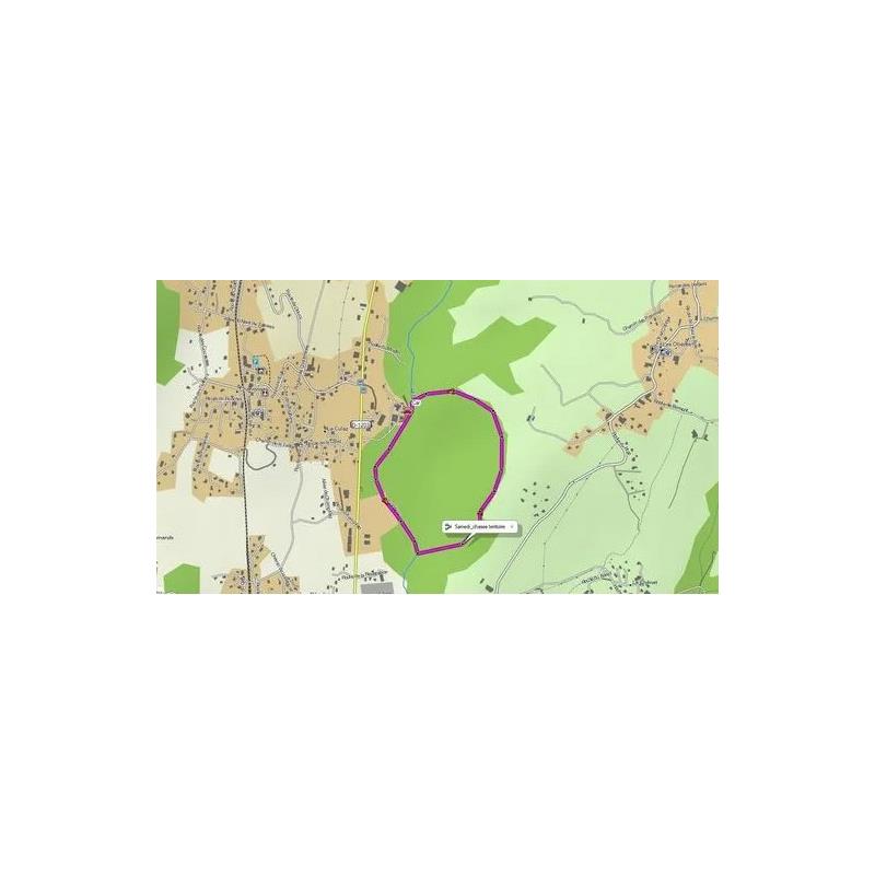
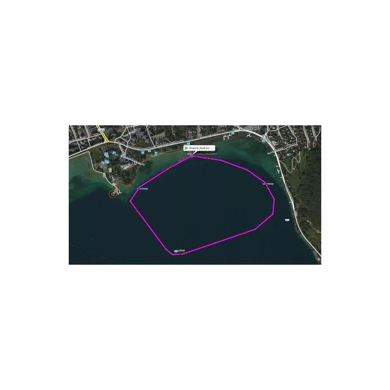
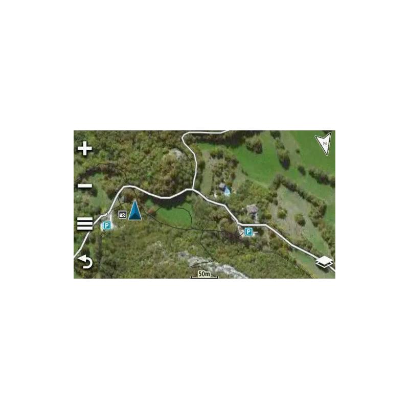
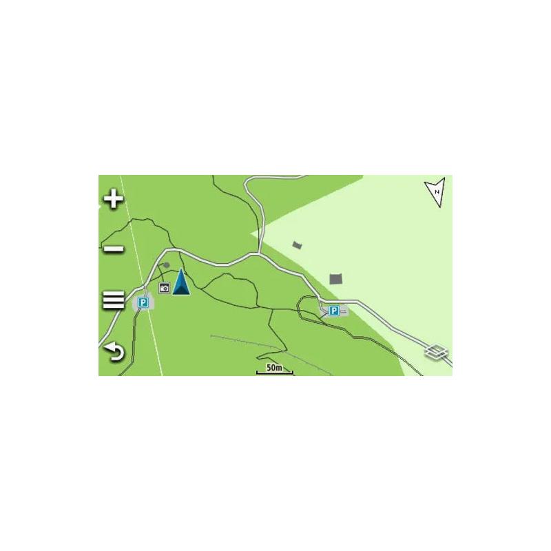
Garmin Huntview Map of France The Garmin HuntView Maps of France provide an easy-to-use solution for hunters and nature enthusiasts, combining exclusive BirdsEye satellite images and topographic maps derived from OpenStreetMap (OSM). These topographies are marketed on MicroSD™ cards that seamlessly integrate with Garmin GPS devices. They are compatible with the free BaseCamp™ software, which allows you to connect your GPS to your computer to plan your hunts, transfer your waypoints, geolocation and even to keep a record of your routes in order to easily return to the best hunting spots or to share your adventures with your friends. Available for the whole of France, this product is offered in six different regional maps, including thousands of drivable roads and trails with detailed navigation, as well as searchable points of interest, such as parks, summits, place names, camping areas, businesses, etc....
• Compatible with DriveTrack tablets and Alpha 100, 200 and 300 central
Features: Now Covers France Available for 6 regions covering the whole territory of Metropolitan France and Corsica.
Ideal for Hunting Thanks to the unique combination of BirdsEye satellite imagery and navigable OpenStreetMap topographic maps, HuntView France is a versatile and easy-to-use solution for hunters and nature lovers.
Based on OpenStreetMap (OSM) Topographic map based on the popular OpenStreetMap cartographic community, excluding the digital terrain model (DTM) and contour lines. Garmin-OSM license agreement applies, available here.
Compatible Devices For a full list of compatible devices and more product information, visit the Garmin website.