£127.57
Articles
Brands
Categories
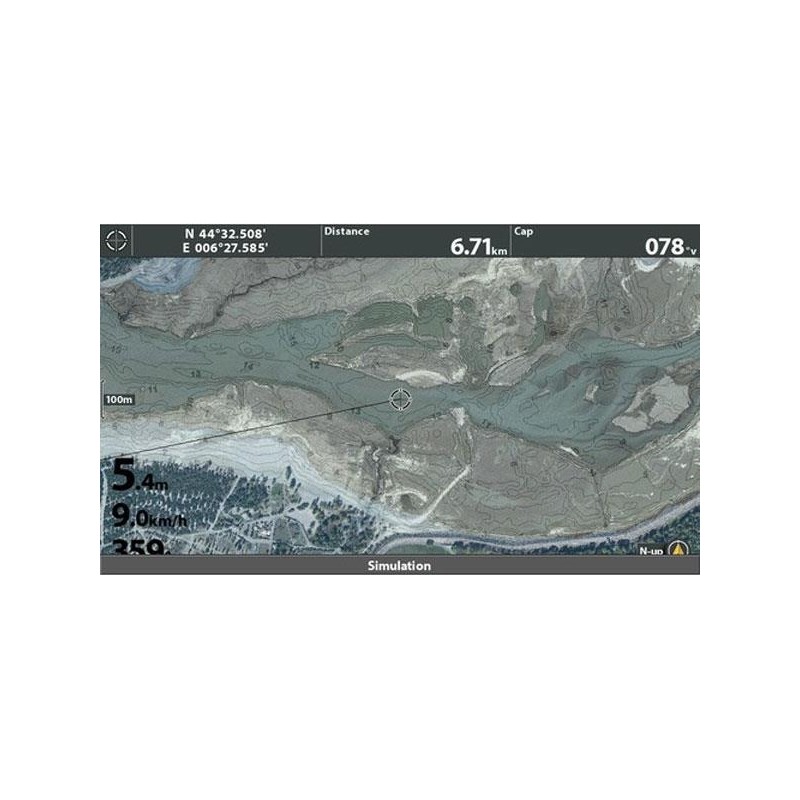
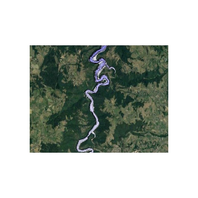 SYL-GRANGENT
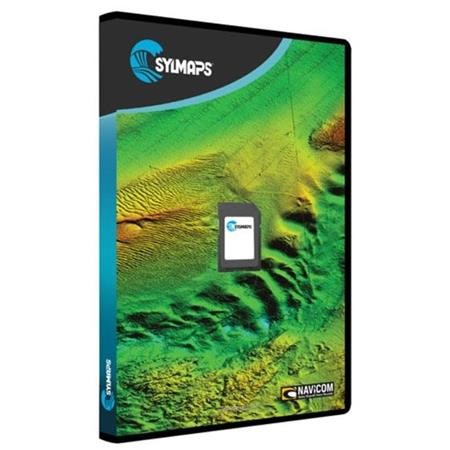
 SYL-SERPONCON


 24h
24h
 24h
24h
 24h
24h
 24h
24h
 24h
24h