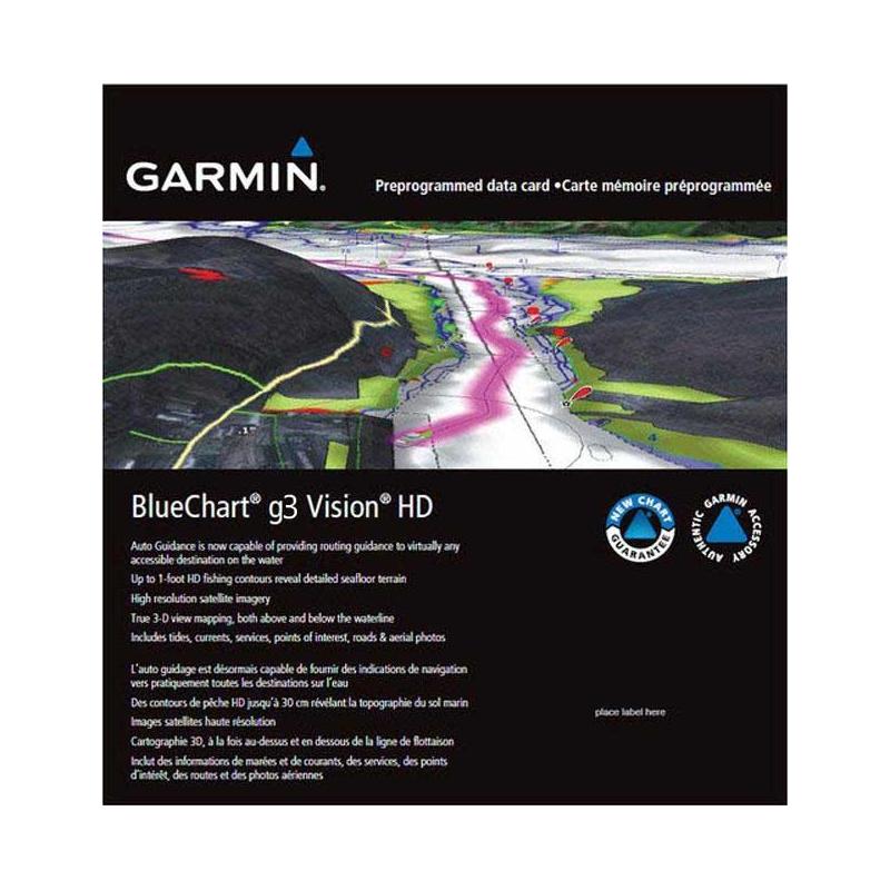
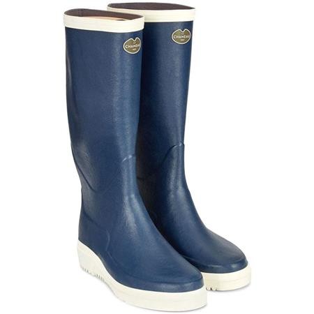
£248.29
Articles
Brands
Categories
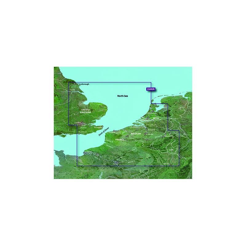 010-C0761-00
 010-C0768-00
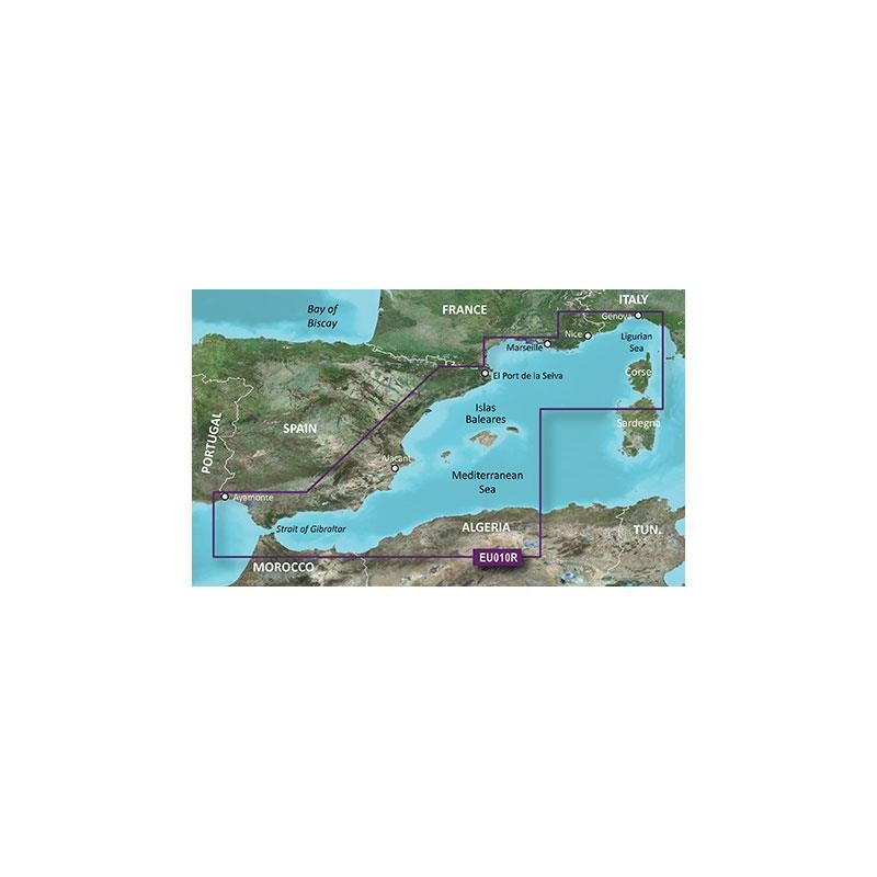
 010-C0770-00
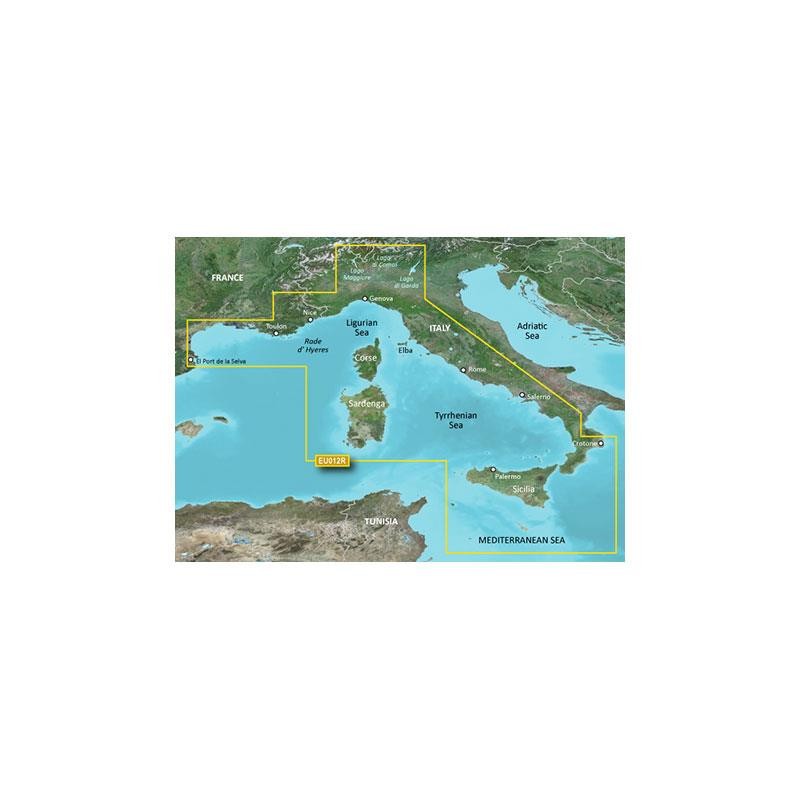
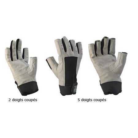
 010-C0760-00
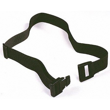
 010-C0763-00
 010-C0775-00
 010-C0767-00
 010-C0771-00
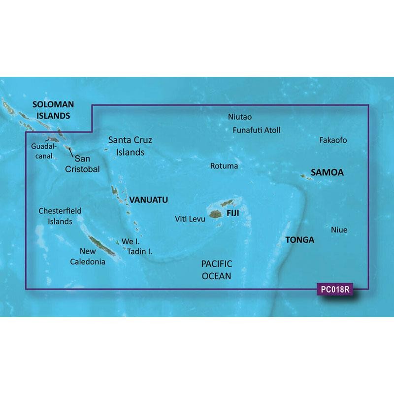
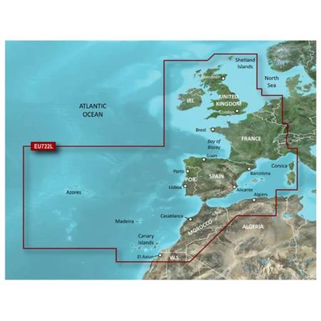
 010-C1104-00
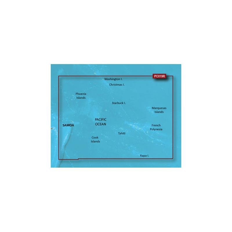
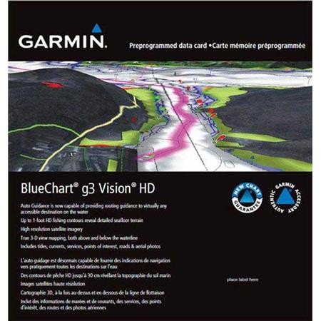
 010-C0865-00
 010-C0866-00

 24h
24h
 24h
24h
 24h
24h
 24h
24h