£205.48
Articles
Brands
Categories
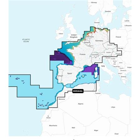
 010-C0798-00
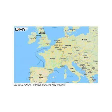
 010-C0809-00
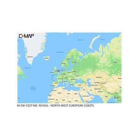
 010-C0810-00
 010-C0829-00
 010-C0800-00
 010-C0795-00
 010-C0805-00
 010-C0808-00
 010-C0807-00
 010-C0823-00
 010-C0830-00
 010-C0846-00

 24h
24h
 24h
24h
 24h
24h
 24h
24h